In this digital age, we're accustomed to snapping pictures with our smartphones and sending them instantly to others, but not so long ago in the history of the world, people had to draw diagrams, pictures and maps to share information.

English colonies, 1754 Norman B. Leventhal Map Center at the Boston Public Library
Free Downloads of Historical Drawings and Maps
Boston Public Library offers free downloads of historical maps, drawings, charts and more from its Norman B. Levanthal Map Center for non-commercial purposes under the Creative Commons Attribution-NonCommercial-ShareAlike 4.0 International license. A great resource for researching a story set during one of the eras within the collection, such as the American Revolutionary War.
If you download any of the images, the Boston Public Library asks that you provide one of the following attribution lines:
(From the Leventhal Map Center's collections:)
"Map reproduction courtesy of the Norman B. Leventhal Map Center at the Boston Public Library"
(From a separate collection (example: Richard H. Brown Revolutionary War Era Maps:)
"Map reproduction from the [NAME OF COLLECTION] collection of the Norman B. Leventhal Map Center at the Boston Public Library"
Sample Maps and Diagrams from the American Revolutionary War
Below are a few of maps and drawings from the American Revolutionary War, including several drawings by Paul Revere, a southwest view depiction of New York city in 1763, and a drawing for the encampment plan for British forces in 1780.
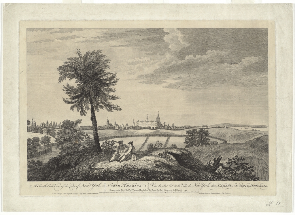
SW view of New York city, 1763 - Map reproduction courtesy of the Norman B. Leventhal Map Center at the Boston Public Library

Planned Boston massacre, 1770 (diagram by Paul Revere) - Map reproduction courtesy of the Norman B. Leventhal Map Center at the Boston Public Library

Drawing of plan for encampment of British forces, 1780 - Map reproduction courtesy of the Norman B. Leventhal Map Center at the Boston Public Library
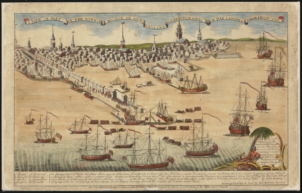
Ships of war, Boston 1768 (drawing by Paul Revere) - Map reproduction courtesy of the Norman B. Leventhal Map Center at the Boston Public Library